
Washington County Street Directory Route
A street search in Washington County is a record chain, not an official roll of everyone on a road. Start with a physical address and use the county map to locate its parcel. The resulting assessment information can identify tax-lot and account references, but an owner name or tax mailing contact does not prove that person lives at the property. Recorded documents establish transaction parties and the legal description. Voter data and historic directories have different access rules and purposes, so they are later checks rather than a substitute for the property trail.
- Address: enter the physical address as a Situs Address in Washington County InterMap, or begin with the county property system when an account reference is already known.
- Parcel: record the tax lot, R number, map context, and legal description shown through the Assessment & Taxation route. Keep the situs and the tax mailing address in separate notes.
- Deed: take the recording reference or legal description to the Washington County Recording Office for the relevant instrument and its grantor, grantee, date, and description.
- Voter request boundary: do not expect a public browse-by-street voter tool. Oregon voter-list access is a request channel, subject to its permitted filters, exclusions, and noncommercial-use rules.
- Historical directory: ask Hillsboro Library reference staff for the relevant locality and year, including whether a reverse or criss-cross section exists, then compare a listed address with newspapers, maps, and deeds.
That order protects against a common error: treating a property taxpayer, document party, or directory entry as a complete current household. It keeps the local address search focused on what each custodian actually records.
Washington County Street Search Keys
InterMap is the verified first stop for an address-keyed Washington County street directory search. The county instructs researchers to use one of three lookup keys, then select the map location and open Additional Information. From there, the Assessment & Taxation Information subreport routes to general property, sales/deed, assessed-value, and improvement categories. The public instructions support these fields. They do not verify an owner-name, ZIP, street-browse, buffer, or radius field, so a road should be worked parcel by parcel rather than as an assumed mass search.
| InterMap field | Input type | When used | Verified result route |
|---|---|---|---|
| Situs Address | Text or address lookup | One of the required lookup keys | Current physical-address map result |
| Tax Lot ID | Text identifier | One of the required lookup keys | County tax-lot result |
| R number | Text identifier | One of the required lookup keys | Assessment account/reference result |
| Additional Information | Map-result panel | After selecting a location | Assessment & Taxation Information subreport |
| Assessment & Taxation Information | Subreport command | After map selection | Property, sales/deed, value, and improvement categories |
The county property-values instructions describe this route directly. A tax statement can show owner names and a mailing address for the party responsible for payment, but that mailing point may be elsewhere. It is a useful cross-check, not evidence of present occupancy.
Washington County Street Record Coverage
Records tied to an address differ sharply in what they establish. Assessment data links a property to a tax lot. Recording material links parties to an instrument. Survey material can bridge a postal address to a plat or legal land description. A project file may identify an applicant or contact, yet that too is evidence of an official project, not a resident roster. The coverage below keeps those limits visible while a street-by-street search moves from one parcel to the next.
| Address-record layer | Washington County keeper | Useful fields or context | Access and limit |
|---|---|---|---|
| InterMap parcel lookup | GIS and Assessment & Taxation | Situs, tax lot, R number, assessment-report route | Free current viewer; not a household list |
| Tax statement | Assessment & Taxation | Property address, legal description, map/account number, taxpayer and mailing contact | Web and counter channels; taxpayer is not confirmed occupant |
| Recorded documents | Recording Office | Parties, recording reference, instrument type, legal description | Lobby viewing and paid copies; no verified web street index |
| Plats and surveys | GIS / Survey Explorer | Tax lots, plats, roads, corners, sections, and dedication history | Historical map context, not current legal survey proof |
| Permit or planning record | City or county jurisdiction | Address, project, record number, status, and public documents where available | Confirm jurisdiction and live fields before relying on a result |
| Historic directory layer | Hillsboro Library and related collections | Address-to-listed-name lead where a reverse section exists | Coverage must be confirmed by volume and year |
Municipal coverage must be checked before requesting a project file. Hillsboro, Beaverton, Tigard, Forest Grove, Sherwood, Cornelius, Banks, and parts of Tualatin each have their own city layer, while unincorporated property may fall under county review. InterMap supplies a useful first jurisdiction and parcel check.
Washington County Street Directory Terms
Address research gets clearer when the labels in county records are not treated as synonyms. A postal address helps locate a place, but land records often rely on the tax-lot or legal-description vocabulary below. These are the terms to preserve beside a street name when moving between InterMap, a plat, and a recorded document.
- Parcel
- A mapped piece of property identified in county tax and map records, often connected to a tax lot or account reference.
- Situs address
- The physical property address used by InterMap to locate the place on the ground. It can differ from a tax mailing address.
- Plat
- A recorded map that can show lots, blocks, subdivisions, roads, or dedications and help bridge a street address to a legal description.
- Criss-cross directory
- A reverse-style directory section that may run from an address to a listed name. Its existence and coverage need confirmation from the actual local volume.
A legal description may instead use lot and block, township and range, section, or Donation Land Claim language. The Washington County Survey Explorer is the local route for addresses, tax lots, surveys, plats, roads, corners, and related land-reference material.
Washington County Survey Explorer Context
Survey Explorer is particularly helpful when a deed does not resemble a modern street address. It searches address, tax lot, survey, plat, public land corner, benchmark, section map, county road, road dedication or vacation, geodetic control point, and Donation Land Claim material. That makes it a bridge for a road that was replatted or for a rural parcel carried by a land description instead of a mailing address.
Its historic section-map warning matters. The county says those maps do not include property-boundary or city-annexation changes after April 25, 2012. Use current InterMap or current municipal GIS for present boundaries, and use the older section maps for historical context only. This split between a current parcel viewer and an older survey layer is a Washington County street directory detail worth recording with every map result.
Washington County GIS presents both tools as complementary research channels. The county also warns that GIS information is not a substitute for primary survey or legal evidence.
Washington County Street Deed Trail
Once an address produces a parcel reference, the deed trail belongs at the Recording Office. Record the current instrument reference, transfer date, grantor, grantee, and legal description. A grantor transfers an interest; a grantee receives it. To move backward, the historical direct and indirect indexes point from the later transfer party to the earlier acquisition. Lot partitions, replats, and changed tax-lot identifiers can interrupt a simple street-name search, which is why the legal description should travel with the notes.
The Recording Office provides lobby viewing, phone and email copy channels. Its public-service location is 155 N First Avenue, Suite 130, Hillsboro. Self copies are listed at $0.50 per page; staff copies are $4 for the first page and $0.25 for each additional page, with $3.75 added for certification. Those are copy choices, not a claim of a public online grantor-grantee search.
The Recording Office service page is the source for the image below. The office records deeds, mortgages, contracts, tax liens, marriage licenses, and domestic partnerships, but its staff does not identify an owner from a street address. Assessment & Taxation handles the parcel question first.
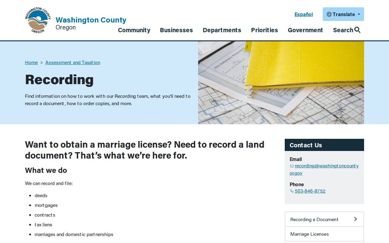
For a Washington County street directory trail, the office becomes most useful after InterMap has supplied the property and legal-description context needed to request the correct document.
Washington County Offline Deed Access
The online boundary is important. No official current public web portal was verified for grantor-grantee deed searching or a web cutoff year. The State Archives inventory instead describes a mixed access path: deed series from 1847 to 1977, historical direct and indirect indexes from 1850 to 1977, and deed-book microfilm from 1850 through about 1964. Working a historical street therefore requires the counter indexes, microfilm, and the specific recording reference rather than a promise that a name will appear in an internet form.
For documents from 1979 forward, searchable images and indexing are documented on the Suite 130 Public Research Area computers. That is a distinct, verified channel. Earlier work shifts to deed books and microfilm, with the State Archives inventory helping identify the appropriate series. The county’s digital transition is split across a public research terminal, historic indexes, and modern map tools, not one universal online search.
Washington County Street Permit Records
Permit and planning material must follow the parcel’s jurisdiction. In Hillsboro, the public Inspection Scheduler accepts a permit number or address, while the Development Services request route can be used for older or project-specific material. The request form takes a site address, permit number, project description, and detailed request, among other contact fields. It can help explain construction or a public project history. It does not establish who lives at the address.
Hillsboro provides the first 30 staff minutes without charge, then lists research at $55 per hour, with an estimate and payment route before work beyond that free time. Delivery is by email or ProjectDox depending on file size. For an unincorporated address, use County Accela Citizen Access for current planning records, but do not assume its dynamic interface exposes every filter or result field.
Washington County Street Address Changes
Hillsboro’s Connecting Hillsboro work combined former City and County addressing systems from 2015 through 2020. At the beginning, the City reported about 44,000 addresses on the City grid and 11,000 on the County grid. Old and new forms remained valid for one year for individuals and two years for businesses, and USPS was notified. An apparent mismatch between an old newspaper, directory, or permit and a current property lookup may therefore be one place with two address forms, not a move.
Inside Hillsboro, City Planning assigns addresses and the grid starts at First Avenue and Main Street. In unincorporated territory and certain cities, County Development Review handles street names and addresses. The Hillsboro addressing guidance and the county address-grid contact are the right continuity checks before concluding that a street entry failed.
Washington County Street Directory History
For earlier listed households, the confirmed local route is narrower and better than a guessed directory database. WCCLS has a catalog-confirmed Hillsboro, Oregon, City Directory: a Classified Business Directory, a Rural Route Directory series from 1959 onward, including a displayed 1975 reference holding. The public catalog does not prove a complete annual run, a reverse section, a publisher, or a standard entry format. Ask Brookwood reference staff for the locality, decade, title page, and whether a criss-cross section is present.
The Washington County GIS page is the source for the image below. It links the current InterMap parcel tool and Survey Explorer, which can connect a directory address to a lot, plat, road, or historic land reference.
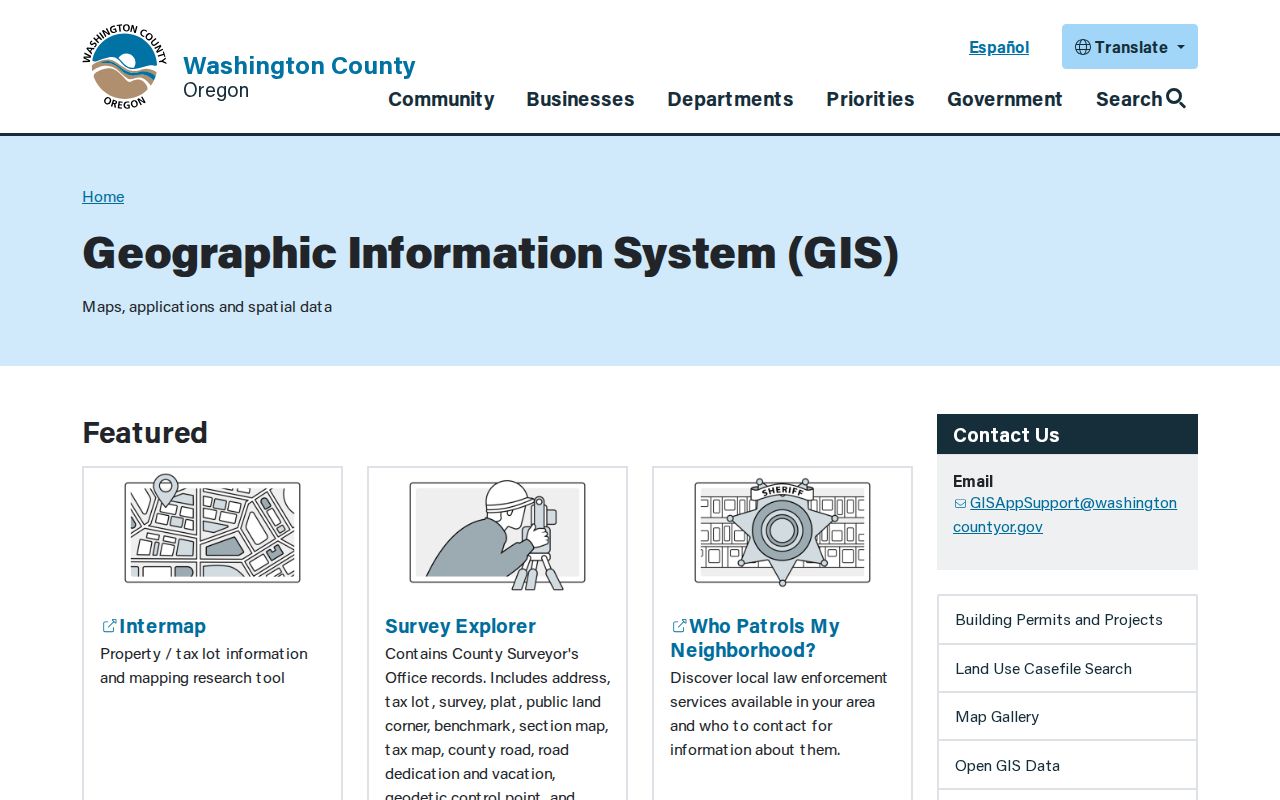
Pair a historical directory lead with Hillsboro Library’s Hillsboro Argus microfilm, Sanborn maps, and the deed chain. A regular listing remains a time-specific lead, not proof that every person at an address was a resident.
Washington County Street Privacy Limits
A Washington County street directory cannot reliably identify every current resident, household member, utility customer, or DMV-address holder. Oregon protects some voter and property information, including Address Confidentiality Program participants and records subject to address exemptions. County tax-property displays also exclude protected names and addresses. A missing result can reflect protection, offline historical storage, a changed address form, or a different custodian rather than proof that nobody is connected to a place.
For an old household lead, the historical collections route is often more informative than pressing a current parcel result beyond its limits. The Washington County City Directory route explains how to ask for locality-specific volumes and pair them with the confirmed newspaper and map holdings.