
Washington County Neighbors by Block
Public records can show the physical pattern around a Washington County address, but they do not create a verified roster of people who live there. A tax-lot map shows adjacent parcels. The assessment record adds the listed owner or tax-mail contact and property identifiers. Recording records explain transfers and legal descriptions. Survey and plat material helps explain why a lot line or road is shaped as it is. These sources should be read as a chain, with each record kept in its proper role.
| Source | What It Shows About a Block | Access |
|---|---|---|
| InterMap | Adjoining tax lots, map relationship, tax-lot geometry, and a route to assessment information | County map viewer; visual parcel context, not a household list |
| Assessment and tax statement | Listed owner or tax-mail contact, values, legal identifiers, and property address | County property/map tools and counter; contact field may differ from the person at the property |
| Recording Office | Recorded parties, deeds, easements, and plat references that explain a parcel | Lobby, counter, copies, and historical index routes |
| Survey Explorer | Plats, surveys, roads, sections, corners, and other map context | Survey/map research with current-boundary cautions |
| Community geography | CPO or city neighborhood-area boundaries, meeting information, and civic context | Official boundaries and contacts, not a directory of participants |
The owner and mailing fields on a tax statement identify the person responsible for that statement. They do not prove that person is an occupant, nor do they identify every person at the address. Washington County neighbors can therefore be researched with a parcel trail, but a responsible result stops short of asserting who lives on each lot.
Map Washington County Neighbors by Tax Lot
The documented block process is direct: address → map-browse adjoining tax lots → assessment information → recording or plat reference. InterMap's official instructions identify three search keys, Situs Address, Tax Lot ID, and R number. After a location is selected, Additional Information leads to Assessment & Taxation Information, including general property information, sales/deed information, assessed values, improvement information, and improvement details.
- Enter the target address, tax-lot ID, or R number in InterMap and confirm the parcel on the map.
- Map-browse the immediately adjoining tax-lot polygons. Note each tax lot, account reference, and legal description rather than inferring ownership from map order.
- Open the assessment information for each selected parcel and keep situs address, listed owner, and tax-mail contact in separate fields.
- Use the Recording Office when a deed, easement, transfer party, or legal-description question remains, then use a plat or survey where lot lines or roads need context.
The county's static InterMap documentation does not verify an owner-name field, a neighbors command, a buffer tool, or a radius setting. Do not describe any of those as available. For a whole named street rather than the immediate block, use the separate Washington County street directory trail.
Washington County Parcel Field Limits
A parcel card is valuable because it joins a place on the ground to a tax account and legal description. The county's sample tax statement identifies property address, legal description, map number, account number, owner names, mailing address, values, levies, taxes, and program indicators. InterMap also routes selected parcels to sales/deed and improvement categories. Those fields give a reliable starting point for a property record, but they do not turn a tax statement into proof of a present household.
Keep three address terms distinct. The situs address is the physical property address and the documented InterMap search route. The mailing address is where a tax notice is sent to the named responsible party. A legal description identifies the property in deeds, plats, or surveys, sometimes as a lot and block, township/range/section, or Donation Land Claim reference. A mailing address can be elsewhere, and an owner field can name a trust, agent, or other nonresident party.
- Tax lot
- A county parcel identifier used to locate land on an assessment and map system.
- Plat
- A recorded map that lays out lots, blocks, roads, or subdivisions and can clarify how a parcel was created.
- Recorded party
- A grantor, grantee, or other person named in a land document. That role shows the transaction, not necessarily current presence at the property.
Washington County Survey Boundary History
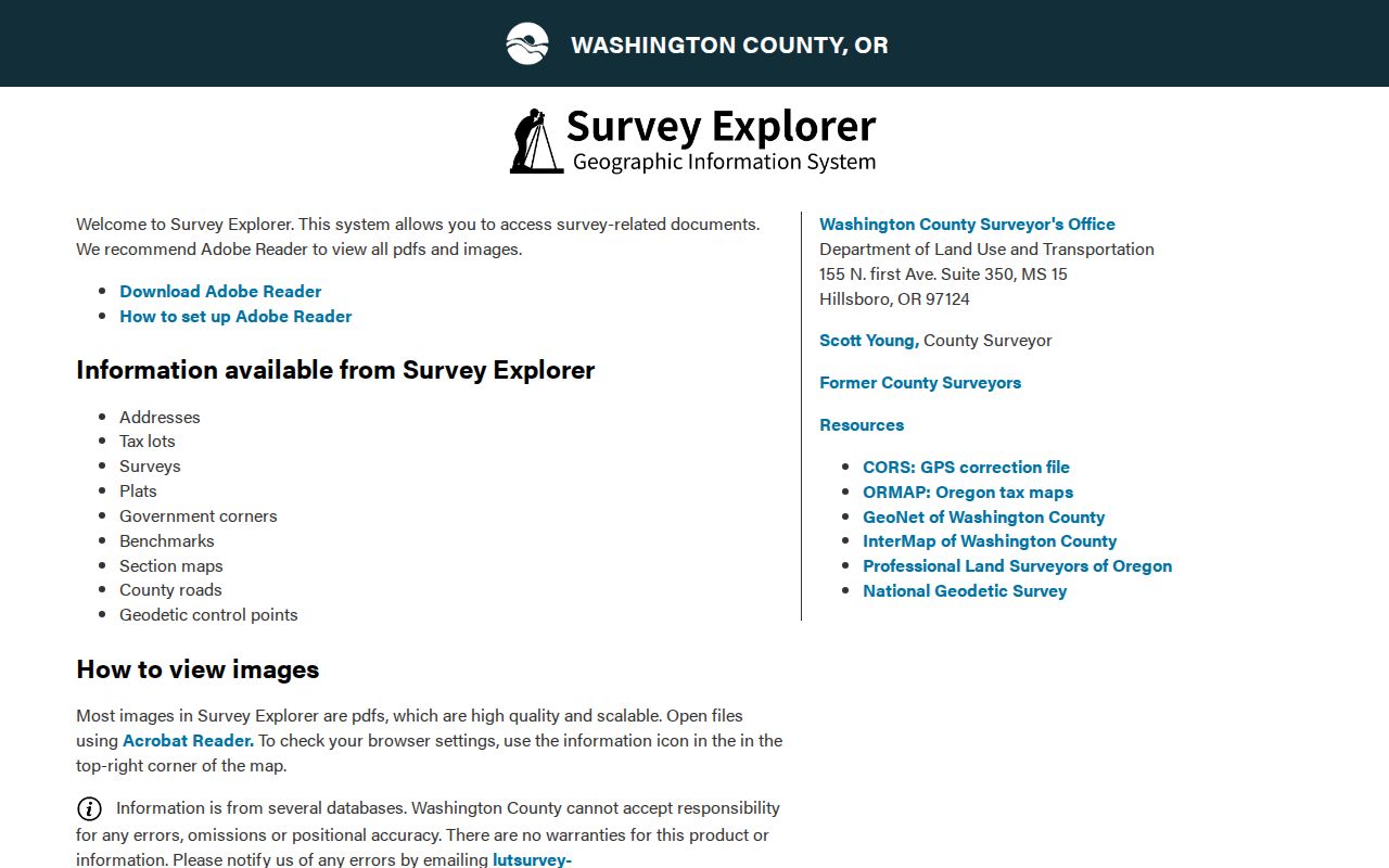
Survey Explorer is the county's second map-research channel. It can return an address, tax lot, survey, plat, road, public-land corner, benchmark, section map, geodetic control point, road dedication or vacation, and Donation Land Claim material. That makes it useful when a recorded description is older than the street address or a parcel's shape needs historical context. It is not the same thing as the current parcel map.
The county warns that Survey Explorer section maps were not updated for property-boundary or city-annexation changes after April 25, 2012. Treat it as historic survey context and compare it with current InterMap or a current municipal GIS view when determining present boundary geography. A historical line can explain an old record, while the current map is the better source for the lot relationship today.
The county's Survey Explorer provides the documented survey and plat entry point.
Use the historic layer to understand a legal description or road history, then preserve the date and map source with the result.
Washington County Voter Record Limits
Voter records are not a block-browsing tool. Oregon My Vote is designed for an elector's own registration and ballot information, registration, or update. It is not an open name or street service. A Washington County list request is separate from My Vote and may be scoped by district, precinct, election, party, or history under the county form, but it cannot be recast as a public browse tool for identifying your neighbors.
Washington County's published form lists a $25 setup charge, $0.00025 per record, a $5 CD option or $0.50 per email attachment if size permits, and at least 24 hours processing. The request requires a signature agreeing not to commercial use under ORS 247.955. Protected Address Confidentiality Program participants and voters with address exemptions are excluded. A list records registration and participation history, not ballot choices, and it should not be used to create a roster or pressure people at their addresses.
Washington County CPO Geography
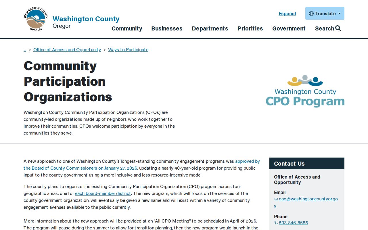
Community Participation Organizations are the county's official neighborhood-participation framework for unincorporated areas. They can help identify civic geography, meeting opportunities, and a boundary around a block, but they are not lists of people at addresses. CPO 6, for example, identifies the Aloha, Cooper Mountain, and Reedville area with approximate boundary streets. The relevant address must first be confirmed as unincorporated rather than assumed from a postal-city label.
The county says the CPO process is transitioning after a January 27, 2026 Board decision. Its published schedule identified an all-CPO meeting in April 2026, a summer transition, and a fall launch across four board districts. The Office of Community Advocacy is the county contact for that framework at oao@washingtoncountyor.gov and 503-846-8685. Contacting the office can clarify civic geography; it does not grant access to private participation records.
The Washington County CPO page records the official transition context and community-participation route.
Use a CPO boundary to understand local civic geography, not to infer that a particular person participates in it.
Beaverton Neighbor Area Boundaries
Inside Beaverton city jurisdiction, the official Find My Neighborhood map supplies a precise city-level layer. It lists eleven Neighborhood Association Committee areas: Central; Denney Whitford/Raleigh West; Five Oaks/Triple Creek; Greenway; Highland; Neighbors Southwest; Sexton Mountain; South Beaverton; Vose; West Beaverton; and West Slope. These names can accurately describe an area after the parcel is confirmed inside Beaverton. They do not identify a list of Washington County neighbors or prove a person lives at a particular address.
Postal geography is not enough for that decision. Washington County includes municipal and unincorporated territory, and a Beaverton or other postal label does not control parcel jurisdiction. Confirm the address with the current map before using a city neighborhood name. This limitation matters especially where a block lies close to a city boundary or historic map lines differ from current annexation geography.
Beaverton's Find My Neighborhood map is the official source for the eleven named areas.
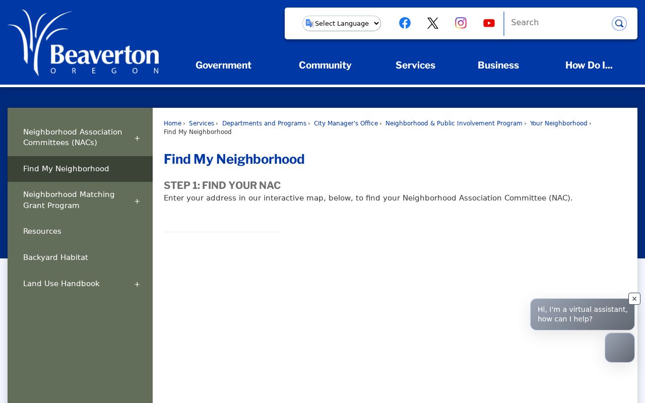
The map helps place a parcel in civic context, while the parcel and recording records remain the sources for property-specific facts.
Washington County Neighbor Source Comparison
Official parcel trails and unnamed commercial neighbor tools do not do the same work. A public map and recorder route show where a property fact came from and let the reader keep time, parcel, and role separate. A commercial category may mix public and other data, but it can be stale, combine people with the same name, omit protected records, and provide less context about the source record. A result without a document reference should be treated as a lead, not a conclusion.
| Question | Official parcel and records trail | Commercial neighbor-tool category |
|---|---|---|
| Which lots adjoin an address? | InterMap visually shows tax-lot geometry and allows parcel-by-parcel review. | May present an unverified nearby association without map or tax-lot context. |
| Who is tied to a property record? | Assessment and recording records identify a stated owner, tax contact, or recorded party and date. | May merge roles or older data without showing the underlying custodian record. |
| Can it prove who lives there? | No. Owner and mailing fields have explicit limits. | No. A compiled result is not evidence of current presence. |
For block curiosity, personal safety awareness, or a property question, preserve the map date, tax lot, document reference, and source office. Those details make it possible to correct a mistaken match without exposing more about the people around an address.
Washington County Neighbors Privacy Limits
Some information around a block must remain private. County property displays may withhold names or addresses protected under ORS 192.345 and 192.368. Oregon's Address Confidentiality Program provides a substitute address and mail-forwarding protection for qualifying survivors, while voter residence exemptions have a county process. DMV personal information is restricted. A nonpublic address is a boundary, not a puzzle to solve through parcel maps, tax data, election records, or other sources.
When the goal changes from the immediate parcels to the full record chain along a named road, stay with property sources and the street-level workflow. Do not fill gaps with assumptions about people who may live nearby.